Reno Flood Zone Homebuying: Four Checks Before You Make an Offer
TLDR: Use flood maps as a starting point, then verify the property
Reno flood zone homebuying starts with an address or APN lookup, not a guess based on the neighborhood. FEMA's map tools and Washoe County resources can help you identify the mapped context for a property, while the County can provide additional flood-map information on request. A map result is useful due diligence, not a promise about future water conditions, insurance cost or a home's suitability.
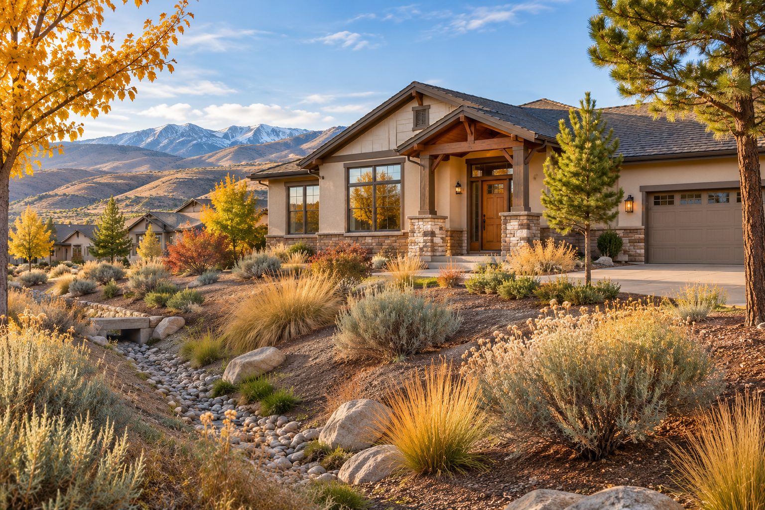
When you are buying a home in Reno or elsewhere in Washoe County, a property-level flood-map check belongs on the same list as inspections, title work and loan questions. Floods can occur away from a river, and map layers are only one part of understanding a specific site.
The practical goal is simple: collect the official map information early, record what you found, and give the right questions to your lender, insurance professional and appropriate local or licensed experts. This guide is educational information, not legal, insurance, engineering or lending advice.
Reno flood zone homebuying: four checks before an offer
1. Start with FEMA's official map source
Search the address at FEMA's Flood Map Service Center. FEMA identifies the Map Service Center as the official online location for flood-hazard mapping products created under the National Flood Insurance Program. Save the date of your search, the address used and the map panel or document you reviewed.
Use the result to understand the property's relationship to mapped flood-hazard areas. Do not treat a screen view as a survey, a boundary decision, a prediction of future flooding or an insurance quote. FEMA notes that there is no no-risk zone, and a map is one tool for understanding risk.
2. Cross-check the local map and parcel context
Washoe County's Regional Mapping System lets users search by address, street, intersection or parcel number. Its property results can include FEMA information and related documents, and the map includes a FEMA quick-map option.
Enter the address and, when available, the Assessor's Parcel Number. Keep a simple record of the layers you turned on and any documents you opened. The County's mapping page says its information is provided as a public service and is not intended for boundary resolution or location, so use the result to frame follow-up questions rather than to make a property-level determination by itself.
3. Ask Washoe County for the information the map cannot settle
Washoe County says it can provide, on request, whether a property is inside or outside the Special Flood Hazard Area shown on the current Flood Insurance Rate Map. Its published notice also describes available information such as a FIRM floodplain zone, an approximate base flood elevation or depth when shown, copies of elevation certificates, and information on historic floods and delineated wetlands.
Bring the address or APN to the request. Availability is property-specific: a document may not exist for every site, and the County notes that a more precise base flood elevation can require a Nevada-licensed surveyor or engineer for some Zone AE properties. That is a reason to ask early, not a reason to assume an answer.
| Check | What to save | Who can help verify it |
|---|---|---|
| FEMA lookup | Search date, address, map panel and downloaded material | FEMA map resources and your lender |
| County mapping | Address or APN, layers reviewed and related documents | Washoe County Engineering |
| County request | Written response, zone information and any available records | Washoe County Engineering and qualified local professionals |
| Transaction questions | Insurance quote, lender guidance and contract deadline notes | Your insurer, lender, real estate professional and attorney as appropriate |
4. Turn research into property-specific questions
Share the records with your lender and ask how the information applies to the loan you are considering. Ask an insurance professional for a property-specific quote and coverage discussion rather than estimating cost from a map category. If the documents raise technical questions about elevation, drainage, wetlands or a proposed improvement, use an appropriately qualified professional.
For the purchase contract, track the applicable investigation and contingency deadlines with your real estate professional. A clear written record of what you requested and received helps keep the next decision focused on the actual property.
What map research can and cannot tell a buyer
A FEMA map can show the relationship between a property and mapped hazard areas, and the County can provide additional information it has for the site. Those facts help you ask better questions before committing to a purchase.
They do not replace an insurance quote, a lender's decision, a survey, an engineering analysis, an inspection or an evaluation of drainage conditions. A home outside a mapped high-risk area is not a guarantee against water damage, and a mapped designation does not by itself establish the cost, availability or terms of insurance for a particular buyer.
Questions Reno buyers often ask
Can I rely only on a listing's flood-zone description?
Use the listing as a lead, then check the official FEMA and Washoe County resources yourself. Record the search date and ask for clarification on anything that affects your decision.
Does a map result tell me whether flood insurance will be required?
The map is relevant information, but your lender and insurer should explain the requirements and coverage options for your specific transaction. Do not assume an answer from the map alone.
Should I skip a home because it has drainage features?
No single visible feature answers the whole question. Use it as a prompt to review records, understand the property's drainage context and obtain advice appropriate to the issue.
Build your offer with the right local questions
Use the Reno buyer roadmap to organize research, inspections and next steps. If you are thinking about buying in Reno or Washoe County, Bradley Berger can help you build a practical property-review plan and coordinate the questions that matter before you move forward. Get in touch to discuss your goals.
Data and filters
This article is for: Buyers evaluating residential property in Reno, Nevada, and Washoe County, including buyers relocating to Northern Nevada.
Reporting scope: Qualitative property-research guidance for the November 14, 2026 edition. No MLS queries, market statistics, property-type filters, transaction sample, insurance quote, survey, engineering opinion or site-specific flood determination was used. Reno is within Washoe County; the locations are overlapping geographic references, not separate measured cohorts.
Sources and methods: FEMA, Flood Maps, and the Flood Map Service Center, used for the role of official flood-hazard mapping. Washoe County, Regional Mapping System, used for its address/APN search and related FEMA-information features. Washoe County, Know Your Property Flood Risk, and Flood Insurance Rate Map Zone Information, used for County information-request options and published service details. Sources checked November 14, 2026, at approximately 5:11 a.m. PST.
Limitations: Map layers and County-provided records are research tools, not property-specific legal, lending, insurance, boundary, engineering or inspection conclusions. Information availability and requirements can change. Buyers should verify current details directly with Washoe County, their lender and insurer, and appropriate licensed professionals before relying on them.